
GribStream Blog
NBM v5.0.14 targets anomalous temperature and dewpoint guidance
NOAA's NBM v5.0.14 revises quantile mapping for temperature and dewpoint, with special attention to seasonal transitions, coasts, and the Great Lakes.
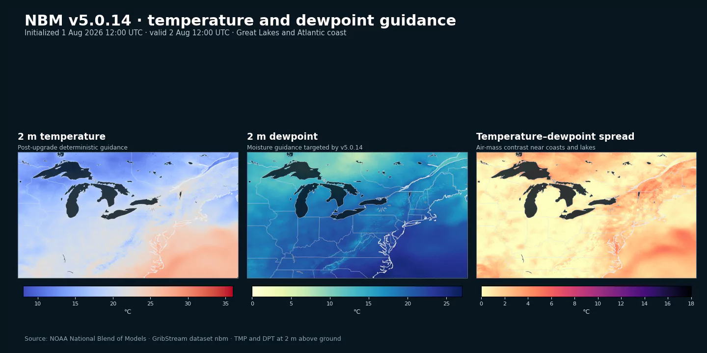
NOAA implemented National Blend of Models v5.0.14 with the July 28, 2026 12 UTC cycle to address anomalous temperature and dewpoint guidance, especially during seasonal transitions and near coasts and the Great Lakes.
Why quantile mapping needed an adjustment
NBM combines inputs from many forecast systems and applies statistical post-processing to make the resulting guidance more consistent with observed local climatology. Quantile mapping compares the distribution of model forecasts with the distribution of observations and adjusts a forecast according to its percentile within those distributions.
That process can become fragile when the training sample does not adequately represent the current season or when a forecast falls into the extreme tails of the learned distribution. Coastal zones and the Great Lakes add sharp land-water contrasts that can make unusual temperature or dewpoint values particularly visible.
Four changes in v5.0.14
The NWS notice identifies four related adjustments to the temperature and dewpoint quantile-mapping suite:
- The current forecast is included in the training sample.
- Recency weighting gives older days less influence when building the cumulative distribution functions.
- Quantile mapping now covers the 2nd through 98th percentiles, expanded from the previous 10th through 90th percentile range.
- A mean bias adjustment replaces alternate linear regression in the distribution tails.
NOAA also removed Australian Community Climate and Earth-System Simulator (ACCESS) inputs from these quantile-mapped temperature and dewpoint products.
Together, the changes make the training distribution more responsive to recent conditions and reduce dependence on tail extrapolation. The service notice describes the intended correction but does not publish a general verification score, so users should evaluate the change over multiple events rather than treating a single map as proof.
The existing NBM dataset codes remain current
This is an in-place operational upgrade. GribStream users should continue using the established NBM family, including nbm for the CONUS core grid. Existing selector tuples for deterministic TMP, DPT, TMAX, and TMIN guidance remain valid.
The July 28 12 UTC cycle is nevertheless an important version boundary for backtests. Analyses spanning that date should record that the temperature and dewpoint post-processing method changed even though the dataset code did not.
This request retrieves the two deterministic fields affected most directly by the upgrade:
{
  "fromTime": "2026-08-02T12:00:00Z",
  "untilTime": "2026-08-03T12:00:00Z",
  "coordinates": [
    {"lat": 41.88, "lon": -87.63, "name": "Chicago"},
    {"lat": 42.33, "lon": -83.05, "name": "Detroit"},
    {"lat": 40.71, "lon": -74.01, "name": "NewYork"}
  ],
  "variables": [
    {"name": "TMP", "level": "2 m above ground", "alias": "temperature"},
    {"name": "DPT", "level": "2 m above ground", "alias": "dewpoint"}
  ]
}
Send the body to POST /api/v2/nbm/timeseries. The NBM CONUS inventory lists the exact selectors, forecast intervals, and currently indexed dates.
Sources
- NWS Service Change Notice 26-70, July 28, 2026: https://www.weather.gov/media/notification/pdf_2026/scn26-70_nbmv5.0.14.pdf
- Updated NBM v5.0 implementation notice: https://www.weather.gov/media/notification/pdf_2026/scn26-24_Updated_NBM_V5.0_aac.pdf
- NOAA NBM versions: https://vlab.noaa.gov/web/mdl/nbm-versions
- NOAA NBM on AWS Open Data: https://registry.opendata.aws/noaa-nbm/