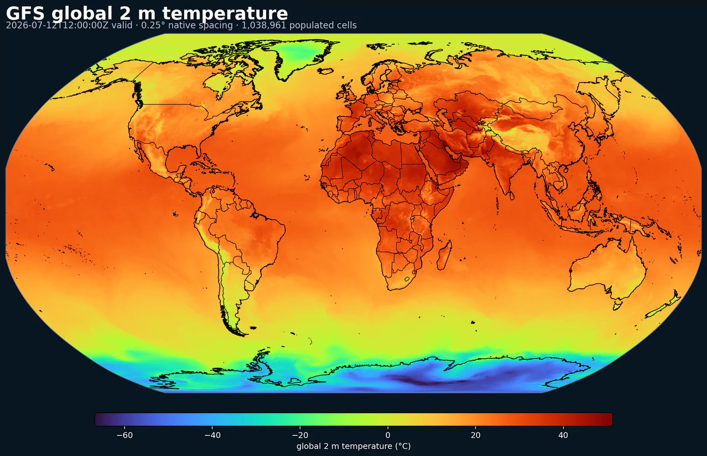
Representative global coverage: GFS 2 m temperature at its native 0.25 degree output spacing, with country boundaries overlaid. This coverage reference was generated from gfs for the aigfssfc page; available variables may differ.
Operativer Status: NOAA hat AIGFS v1.0 und AIGEFS v1.0 am 17. Dezember 2025 zusammen mit HGEFS operativ eingeführt. In GribStream sind diese Datasets die aktuelle operative NOAA-Linie für globale KI-basierte Vorhersagen; graphcast bleibt ein historisches experimentelles Archiv.
AIGFS Surface ist das oberflächennahe Produkt des operativen Artificial Intelligence Global Forecast System von NOAA/NCEP. NOAA hat AIGFS v1.0 am 17. Dezember 2025 zusammen mit AIGEFS und dem hybriden Ensemble HGEFS operativ eingeführt; AIGFS ist die deterministische Vorhersage dieser globalen KI-basierten Modellfamilie.
NOAA beschreibt AIGFS als GraphCast-basierte Vorhersage, entwickelt von NCEP zusammen mit NOAA-Forschungslaboren und dem Earth Prediction Innovation Center. Das System startet aus der operativen globalen NOAA-Analyse und eignet sich damit als direkter KI-Vergleich zu physikalischen Modellen wie GFS.
Das Dataset aigfssfc ist die kompakte Option, wenn Sie globale Oberflächenfelder benötigen, ohne das gesamte atmosphärische Drucklevel-Profil abzufragen. Es enthält U/V-Windkomponenten in 10 m, Temperatur in 2 m, mittleren Meeresspiegeldruck und akkumulierten Niederschlag.
Es läuft auf demselben globalen 0.25-Grad-Grid wie AIGFS Pressure, mit Läufen um 00, 06, 12 und 18 UTC und 6-h-Vorhersageschritten bis 384 h. Dadurch lässt es sich gut mit GFS und anderen globalen Modellen auf demselben Horizont vergleichen.
In GribStream ist AIGFS Surface nützlich für globale Punktvorhersagen, operative Dashboards, mittelfristige Modellvergleiche, erste Einschätzungen für erneuerbare Energien und Routen, Verifikation zwischen KI- und physikalischen Modellen sowie Backtesting.
Globale deterministische KI-basierte Vorhersage, Teil der operativen AIGFS-Familie von NOAA/NCEP.
GraphCast-basierte Vorhersage, initialisiert aus der operativen globalen NOAA-Analyse.
Globales 0.25-Grad-Grid, Läufe um 00/06/12/18 UTC und 6-h-Schritte bis 384 h in der aktuellen GribStream-Abdeckung.
Kompaktes Oberflächenprodukt für U/V-Wind in 10 m, Temperatur in 2 m, mittleren Meeresspiegeldruck und akkumulierten Niederschlag.
Auflösung: Globales 0.25-Grad-Grid.
Zeitliche Abdeckung: Läufe um 00, 06, 12 und 18 UTC; 6-h-Schritte bis 384 h in der aktuellen GribStream-Abdeckung.
Hauptanwendungen: Globale Punktvorhersagen, operative Dashboards, mittelfristiger Modellvergleich, erste Einschätzung erneuerbarer Energien, Routenplanung, Verifikation zwischen KI- und physikalischen Modellen und Backtesting.
Klicken Sie auf einen Parameter, um Varianten in einer kompakten Tabelle mit kopierbaren JSON-Selektoren zu sehen. Codes, Levels und Selector-Werte bleiben exakt so, wie die API sie ausgibt.
Accumulated precipitation represents the total water-equivalent amount of rain and snow during the output period. It is a primary field for hydrologic impacts and event totals.
Units: kg/m^2.
Use with the model time interval to interpret totals and compare to gauges.