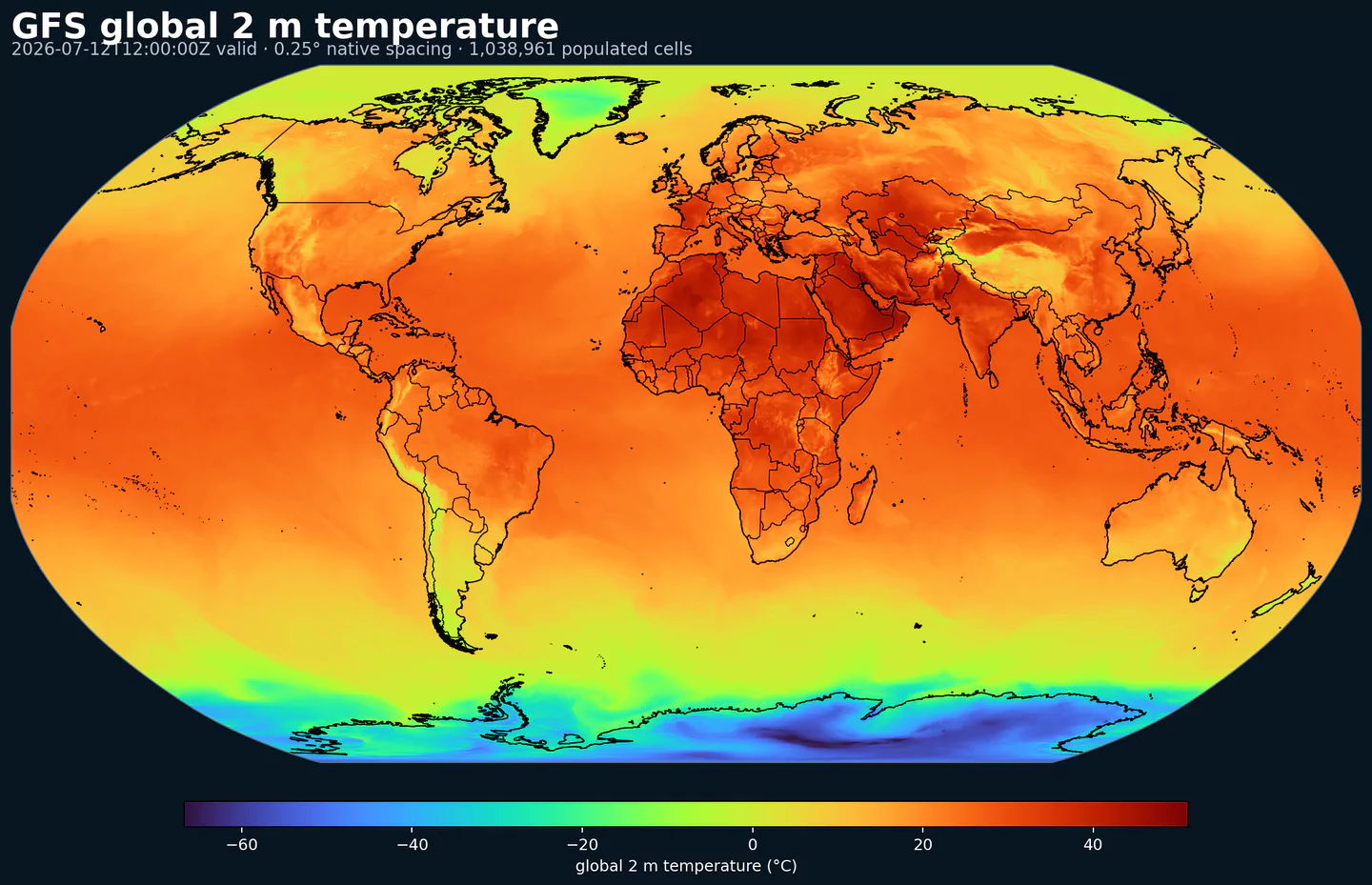
GribStream Code:aigfssfcRepresentative global coverage: GFS 2 m temperature at its native 0.25 degree output spacing, with country boundaries overlaid. This coverage reference was generated from gfs for the aigfssfc page; available variables may differ.
Description
AIGFS Surface is the near-surface dataset from NOAA/NCEP's operational Artificial Intelligence Global Forecast System. NOAA implemented AIGFS v1.0 on December 17, 2025, alongside the AIGEFS AI ensemble and HGEFS hybrid ensemble. AIGFS is the deterministic member of that operational AI global model family.
NOAA describes the AI-GFS family as GraphCast-based guidance developed by NCEP with NOAA research laboratories and the Earth Prediction Innovation Center. The system uses NOAA's operational global analysis as its real-time starting point, which makes it useful as an independent AI forecast alongside physics-based models such as GFS.
This surface dataset is the compact AIGFS option for applications that need the most common global weather signals without the full pressure-level atmosphere. It is useful for point forecasts, operational dashboards, medium-range model comparison, renewable-energy screening, route planning, and AI-vs-physics verification workflows.
What is in the surface product
The surface dataset includes 10 m U/V wind components, 2 m temperature, mean sea-level pressure, and accumulated precipitation. It runs on the same 0.25 degree global grid as AIGFS Pressure, with 00, 06, 12, and 18 UTC cycles and 6-hour forecast steps out to 384 hours.
Accumulated precipitation represents the total water-equivalent amount of rain and snow during the output period. It is a primary field for hydrologic impacts and event totals.
Units: kg/m^2.
Use with the model time interval to interpret totals and compare to gauges.