Azimuth Shear 0-2 km AGL (0.001/s).

GribStream
GribStream Code: mrmsazshear
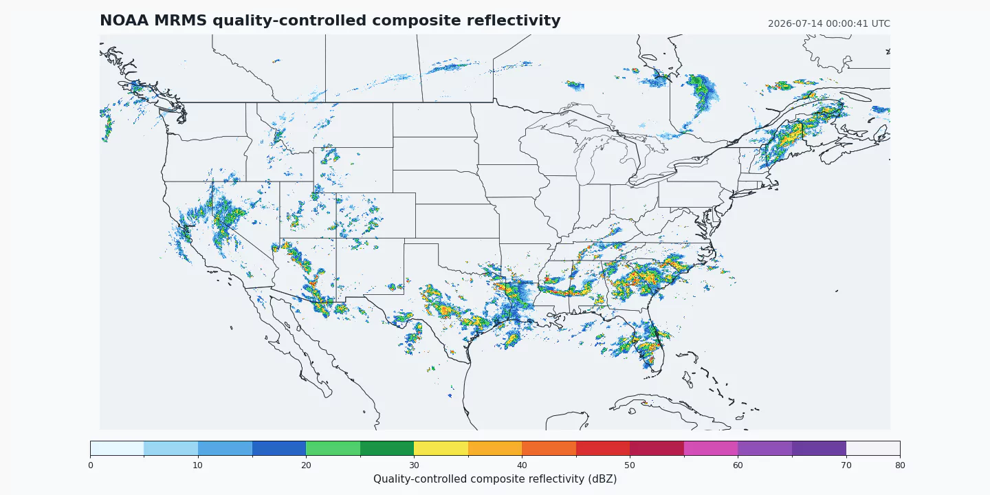
Official source: NOAA NSSL publishes MergedAzShear0to2kmAGL as an operational MRMS severe-weather product. GribStream reads the public NOAA Open Data Dissemination bucket without mirroring or resampling the field.
Current GribStream scope: mrmsazshear provides the CONUS 0-2 km azimuthal-shear analysis on its native 14,000 by 7,000 grid. Historical coverage begins October 14, 2020 and grows forward, with a nominal two-minute source frequency.
Interpretation: Azimuthal shear is a radar-derived rotation diagnostic. It can highlight organized rotation, but it is not a tornado observation, tornado probability, warning, or standalone decision rule.
MRMS 0-2 km azimuthal shear summarizes radar-derived rotational shear in the lowest two kilometers above ground level across a seamless CONUS mosaic. It is one of the system's severe-weather diagnostics and updates quickly enough to support monitoring of evolving convective storms.
The field is most useful as context. Rotation embedded in a persistent storm, collocated with strong reflectivity, hail signatures, lightning trends, environmental support, and official warnings has a different meaning from an isolated pixel. Products should preserve that distinction instead of presenting azimuthal shear as a direct tornado detector.
NOAA distributes this field at twice the linear grid density of the five products in mrms. A 14,000 by 7,000 field contains 98 million cells, so GribStream exposes it as mrmsazshear with its own coordinate index rather than mixing incompatible grids.
The source uses 0 for missing, range-folded, and no-coverage cells in this product. That convention is specific to MRMS azimuthal shear; GribStream maps those cells to null without treating zero as missing in unrelated datasets.
Use /api/v2/mrmsazshear/timeseries for coordinate histories and /api/v2/mrmsazshear/runs for exact-time or gridded extraction. Source timestamps include seconds and appear unchanged in the API.
MergedAzShear0to2kmAGL values in 0.001/s, preserving NOAA's operational parameter name and source unit.forecasted_at and forecasted_time; horizon remains 0.Click a parameter to reveal variants in a compact table with ready-to-copy JSON selectors.
Azimuth Shear 0-2 km AGL (0.001/s).
| Level | Info | Horizon | Introduced | Selector |
|---|---|---|---|---|
500 m above mean sea level |
0h | 2020-10-14 |
{"name":"MergedAzShear0to2kmAGL","level":"500 m above mean sea level","info":""}
|
No parameters match your search.