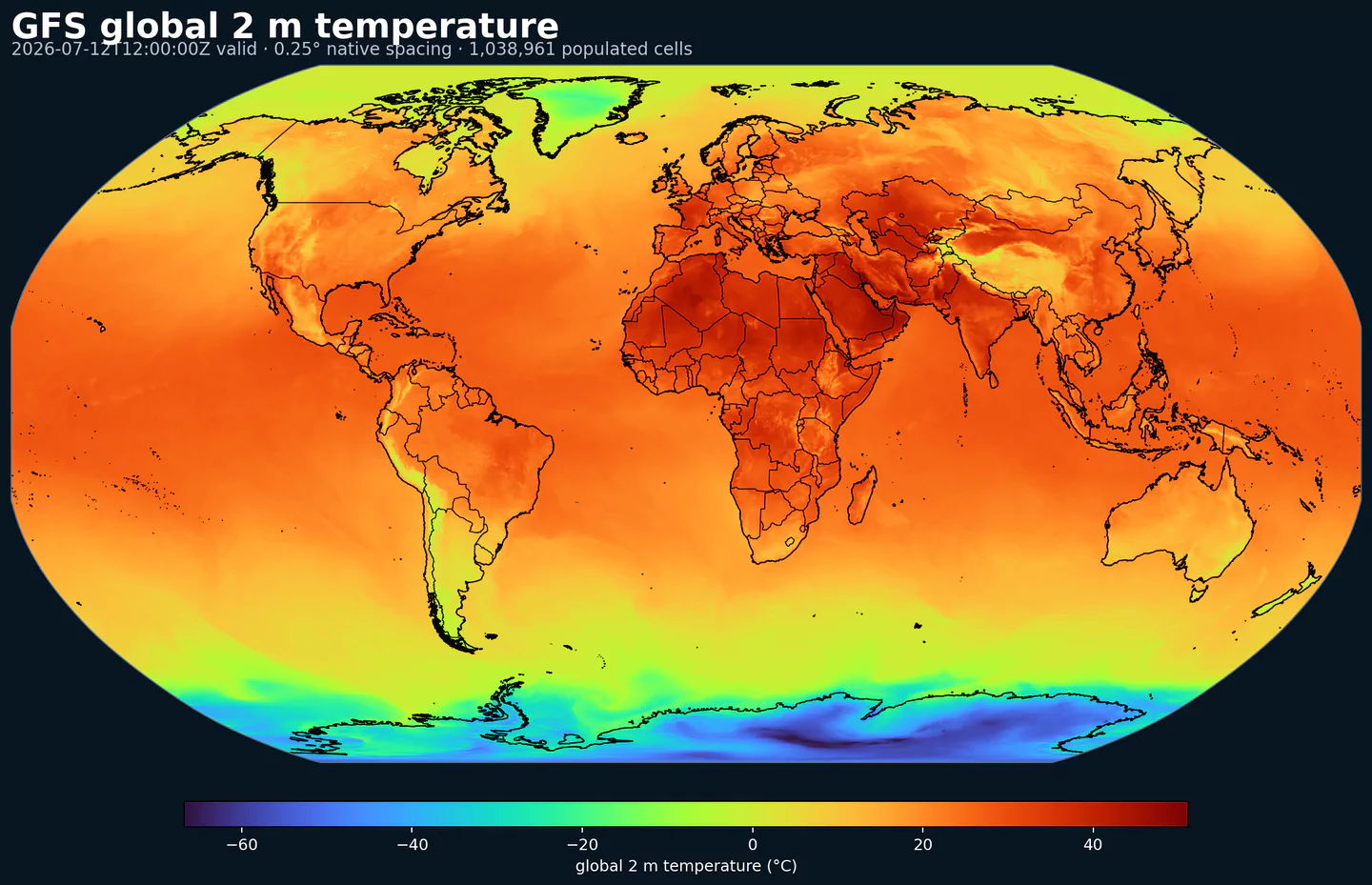
GribStream

NOAA Global Ensemble Forecast System - Atmospheric Members (GEFS Atmos)

Código GribStream: gefsatmos

Descripción

GEFS Atmos es el ensemble atmosférico global de mediano plazo de NOAA/NCEP. Cada ciclo ejecuta GFS 31 veces: una ejecución de control y 30 miembros perturbados, para estimar incertidumbre en vez de entregar un único escenario.

El sistema usa el núcleo dinámico FV3 y esquemas de física estocástica como SPPT y SKEB. Las perturbaciones de condición inicial y los errores dependientes del flujo se construyen de forma consistente con el análisis de GFS, para que la dispersión del ensemble represente crecimiento realista de la incertidumbre.

La salida incluye campos de superficie y niveles de presión para temperatura, viento, humedad, precipitación, presión media al nivel del mar, geopotencial, CAPE y otros diagnósticos meteorológicos.

En GribStream, gefsatmos es útil cuando tu producto necesita cuantificar rangos posibles, percentiles, escenarios o probabilidad de excedencia a escala global.

Detalle

Datasets relacionados

Parámetros

0 parámetros

Haz clic en un parámetro para ver sus variantes en una tabla compacta con selectores JSON listos para copiar. Los códigos, niveles y valores de selector se mantienen exactamente como los expone la API.

CAPE Convective Available Potential Energy (J/kg)
2 variants

Convective Available Potential Energy (CAPE) quantifies buoyant energy available to rising air parcels. Larger values generally imply stronger potential updrafts and greater convective intensity.

  • Units: J/kg.
  • Often used with CIN and lifting mechanisms to assess thunderstorm potential.
Level Info Horizon Introduced Selector
180-0 mb above ground 0h-240h 2020-10-01
{"name":"CAPE","level":"180-0 mb above ground","info":""}
surface 0h-240h 2020-10-01
{"name":"CAPE","level":"surface","info":""}
CIN Convective Inhibition (J/kg)
2 variants

Convective Inhibition (CIN) measures the energy barrier that must be overcome to initiate convection. More negative values indicate a stronger cap that can suppress storms.

  • Units: J/kg.
  • When CIN is weak and CAPE is high, convection is more likely.
Level Info Horizon Introduced Selector
180-0 mb above ground 0h-240h 2020-10-01
{"name":"CIN","level":"180-0 mb above ground","info":""}
surface 0h-240h 2020-10-01
{"name":"CIN","level":"surface","info":""}
DPT Dew Point Temperature (K)
1 variant

Dew point temperature is the temperature at which the air becomes saturated. It is a direct measure of moisture content.

  • Units: K.
  • When dew point is close to air temperature, fog or low cloud potential increases.
Level Info Horizon Introduced Selector
2 m above ground 0h-240h 2020-10-01
{"name":"DPT","level":"2 m above ground","info":""}
GUST Wind Speed (Gust) (m/s)
1 variant

Wind gust is the peak short-duration wind speed. It captures brief, hazardous bursts that can exceed sustained winds.

  • Units: m/s.
Level Info Horizon Introduced Selector
surface 0h-240h 2020-10-01
{"name":"GUST","level":"surface","info":""}
HGT Geopotential Height (gpm)
2 variants

Geopotential height is the altitude of a pressure surface in the atmosphere. It is the primary field for identifying ridges, troughs, and large‑scale flow patterns.

  • Units: gpm.
Level Info Horizon Introduced Selector
cloud ceiling 0h-240h 2022-10-18
{"name":"HGT","level":"cloud ceiling","info":""}
surface 0h 2020-10-01
{"name":"HGT","level":"surface","info":""}
HLCY Storm Relative Helicity (m^2/s^2)
1 variant

Storm-relative helicity measures the potential for streamwise vorticity to be ingested by a storm updraft. Higher values suggest a greater likelihood of rotating updrafts.

  • Units: m^2/s^2.
  • Commonly evaluated in the lowest 1 to 3 km layer.
Level Info Horizon Introduced Selector
3000-0 m above ground 0h-240h 2020-10-01
{"name":"HLCY","level":"3000-0 m above ground","info":""}
ICETK Ice Thickness (m)
1 variant

Ice thickness is the physical thickness of sea or lake ice. It is important for marine navigation and heat exchange.

  • Units: m.
Level Info Horizon Introduced Selector
surface 0h-240h 2020-10-01
{"name":"ICETK","level":"surface","info":""}
PRES Pressure (Pa)
1 variant

Pressure is the atmospheric pressure at the specified level. It is a fundamental mass-field variable for dynamics and thermodynamics.

  • Units: Pa.
Level Info Horizon Introduced Selector
surface 0h-240h 2020-10-01
{"name":"PRES","level":"surface","info":""}
PRMSL Pressure Reduced to Mean Sea Level (Pa)
1 variant

Pressure reduced to mean sea level is MSLP computed from surface pressure and temperature. It is used to locate highs and lows.

  • Units: Pa.
Level Info Horizon Introduced Selector
mean sea level 0h-240h 2020-10-01
{"name":"PRMSL","level":"mean sea level","info":""}
PWAT Precipitable Water (kg/m^2)
1 variant

Precipitable water is the total column water vapor from the surface to the top of the atmosphere. It is a key moisture indicator.

  • Units: kg/m^2.
Level Info Horizon Introduced Selector
entire atmosphere (considered as a single layer) 0h-240h 2020-10-01
{"name":"PWAT","level":"entire atmosphere (considered as a single layer)","info":""}
RH Relative Humidity (percent)
1 variant

Relative humidity describes how close the air is to saturation at the specified level. High values favor cloud formation.

  • Units: percent.
  • Higher values indicate more atmospheric moisture and greater cloud or precip potential.
Level Info Horizon Introduced Selector
2 m above ground 0h-240h 2020-10-01
{"name":"RH","level":"2 m above ground","info":""}
SNOD Snow Depth (m)
1 variant

Snow depth is the physical thickness of the snowpack. It is distinct from snow water equivalent, which measures water content.

  • Units: m.
Level Info Horizon Introduced Selector
surface 0h-240h 2020-10-01
{"name":"SNOD","level":"surface","info":""}
SOILW Volumetric Soil Moisture Content (Fraction)
1 variant

Volumetric soil moisture is the fraction of soil volume occupied by water. It is commonly used in hydrology and drought monitoring.

  • Units: Fraction.
  • Soil state affects evapotranspiration and boundary-layer moisture.
Level Info Horizon Introduced Selector
0-0.1 m below ground 0h-240h 2020-10-01
{"name":"SOILW","level":"0-0.1 m below ground","info":""}
TMAX Maximum Temperature (K)
1 variant

Maximum temperature is the highest temperature reached during the output period. It is commonly used for heat stress and daily extremes.

  • Units: K.
Level Info Horizon Introduced Selector
2 m above ground 0h-240h 2020-10-01
{"name":"TMAX","level":"2 m above ground","info":""}
TMIN Minimum Temperature (K)
1 variant

Minimum temperature is the lowest temperature reached during the output period. It is commonly used for frost and cold-stress assessment.

  • Units: K.
Level Info Horizon Introduced Selector
2 m above ground 0h-240h 2020-10-01
{"name":"TMIN","level":"2 m above ground","info":""}
TMP Temperature (K)
1 variant

Air temperature is the thermal state of the atmosphere at the specified level. It influences density, stability, and energy exchange.

  • Units: K.
Level Info Horizon Introduced Selector
2 m above ground 0h-240h 2020-10-01
{"name":"TMP","level":"2 m above ground","info":""}
TSOIL Soil Temperature (K)
1 variant

Soil temperature describes the thermal state of the soil layer. It affects ground heat flux and freeze/thaw processes.

  • Units: K.
  • Soil state affects evapotranspiration and boundary-layer moisture.
Level Info Horizon Introduced Selector
0-0.1 m below ground 0h-240h 2020-10-01
{"name":"TSOIL","level":"0-0.1 m below ground","info":""}
UGRD U-Component of Wind (m/s)
1 variant

U‑component of wind is the east‑west component of the horizontal wind. Combine with v for speed and direction.

  • Units: m/s.
  • Combine u and v components to compute speed and direction.
Level Info Horizon Introduced Selector
10 m above ground 0h-240h 2020-10-01
{"name":"UGRD","level":"10 m above ground","info":""}
VGRD V-Component of Wind (m/s)
1 variant

V‑component of wind is the north‑south component of the horizontal wind. Combine with u for speed and direction.

  • Units: m/s.
  • Combine u and v components to compute speed and direction.
Level Info Horizon Introduced Selector
10 m above ground 0h-240h 2020-10-01
{"name":"VGRD","level":"10 m above ground","info":""}
WEASD Water Equivalent of Accumulated Snow Depth (kg/m^2)
1 variant

Snow water equivalent (SWE) is the total liquid water stored in the snowpack. It integrates depth and density of existing snow.

  • Units: kg/m^2.
  • Accumulations represent water-equivalent depth over the output interval; rates describe intensity.
Level Info Horizon Introduced Selector
surface 0h-240h 2020-10-01
{"name":"WEASD","level":"surface","info":""}

Ningún parámetro coincide con la búsqueda.