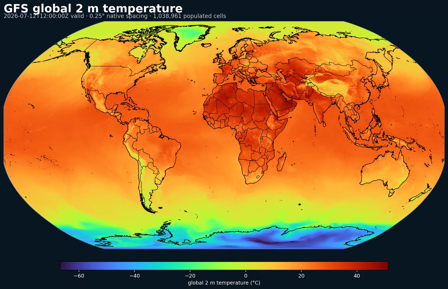
GribStream

NOAA Global Ensemble Forecast System - Atmospheric Mean (GEFS Atmos Mean)

Código GribStream: gefsatmosmean

Descripción

GEFS Atmos Mean resume el ensemble atmosférico de NOAA en campos medios. En lugar de elegir un único miembro, entrega una referencia central calculada a partir del conjunto, útil cuando quieres una guía global más estable.

La media del ensemble no reemplaza el análisis probabilístico completo. Usa GEFS Atmos cuando necesitas miembros individuales, percentiles, rangos o probabilidad de excedencia. Usa gefsatmosmean cuando el producto necesita una referencia más estable para temperatura, viento, precipitación, presión, altura geopotencial y otros campos atmosféricos.

En productos operativos, esta salida puede funcionar como referencia para decisiones dependientes del pronóstico: energía, agricultura, logística, seguros, hidrología, gestión de emergencias y monitoreo de riesgo a escala continental o global.

En GribStream, gefsatmosmean conserva los selectores exactos del catálogo y permite consultar la media del ensemble con los mismos patrones de punto, grilla, /timeseries y /runs usados por los demás datasets GEFS.

Detalle

Datasets relacionados

Parámetros

0 parámetros

Haz clic en un parámetro para ver sus variantes en una tabla compacta con selectores JSON listos para copiar. Los códigos, niveles y valores de selector se mantienen exactamente como los expone la API.

CAPE Convective Available Potential Energy (J/kg)
2 variants

Convective Available Potential Energy (CAPE) quantifies buoyant energy available to rising air parcels. Larger values generally imply stronger potential updrafts and greater convective intensity.

  • Units: J/kg.
  • Often used with CIN and lifting mechanisms to assess thunderstorm potential.
Level Info Horizon Introduced Selector
180-0 mb above ground ens mean 0h-240h 2020-10-01
{"name":"CAPE","level":"180-0 mb above ground","info":"ens mean"}
surface ens mean 0h-240h 2020-10-01
{"name":"CAPE","level":"surface","info":"ens mean"}
CIN Convective Inhibition (J/kg)
2 variants

Convective Inhibition (CIN) measures the energy barrier that must be overcome to initiate convection. More negative values indicate a stronger cap that can suppress storms.

  • Units: J/kg.
  • When CIN is weak and CAPE is high, convection is more likely.
Level Info Horizon Introduced Selector
180-0 mb above ground ens mean 0h-240h 2020-10-01
{"name":"CIN","level":"180-0 mb above ground","info":"ens mean"}
surface ens mean 0h-240h 2020-10-01
{"name":"CIN","level":"surface","info":"ens mean"}
DPT Dew Point Temperature (K)
1 variant

Dew point temperature is the temperature at which the air becomes saturated. It is a direct measure of moisture content.

  • Units: K.
  • When dew point is close to air temperature, fog or low cloud potential increases.
Level Info Horizon Introduced Selector
2 m above ground ens mean 0h-240h 2020-10-01
{"name":"DPT","level":"2 m above ground","info":"ens mean"}
GUST Wind Speed (Gust) (m/s)
1 variant

Wind gust is the peak short-duration wind speed. It captures brief, hazardous bursts that can exceed sustained winds.

  • Units: m/s.
Level Info Horizon Introduced Selector
surface ens mean 0h-240h 2020-10-01
{"name":"GUST","level":"surface","info":"ens mean"}
HGT Geopotential Height (gpm)
2 variants

Geopotential height is the altitude of a pressure surface in the atmosphere. It is the primary field for identifying ridges, troughs, and large‑scale flow patterns.

  • Units: gpm.
Level Info Horizon Introduced Selector
cloud ceiling ens mean 0h-240h 2022-10-18
{"name":"HGT","level":"cloud ceiling","info":"ens mean"}
surface ens mean 0h 2020-10-01
{"name":"HGT","level":"surface","info":"ens mean"}
HLCY Storm Relative Helicity (m^2/s^2)
1 variant

Storm-relative helicity measures the potential for streamwise vorticity to be ingested by a storm updraft. Higher values suggest a greater likelihood of rotating updrafts.

  • Units: m^2/s^2.
  • Commonly evaluated in the lowest 1 to 3 km layer.
Level Info Horizon Introduced Selector
3000-0 m above ground ens mean 0h-240h 2020-10-01
{"name":"HLCY","level":"3000-0 m above ground","info":"ens mean"}
ICETK Ice Thickness (m)
1 variant

Ice thickness is the physical thickness of sea or lake ice. It is important for marine navigation and heat exchange.

  • Units: m.
Level Info Horizon Introduced Selector
surface ens mean 0h-240h 2020-10-01
{"name":"ICETK","level":"surface","info":"ens mean"}
PRES Pressure (Pa)
1 variant

Pressure is the atmospheric pressure at the specified level. It is a fundamental mass-field variable for dynamics and thermodynamics.

  • Units: Pa.
Level Info Horizon Introduced Selector
surface ens mean 0h-240h 2020-10-01
{"name":"PRES","level":"surface","info":"ens mean"}
PRMSL Pressure Reduced to Mean Sea Level (Pa)
1 variant

Pressure reduced to mean sea level is MSLP computed from surface pressure and temperature. It is used to locate highs and lows.

  • Units: Pa.
Level Info Horizon Introduced Selector
mean sea level ens mean 0h-240h 2020-10-01
{"name":"PRMSL","level":"mean sea level","info":"ens mean"}
PWAT Precipitable Water (kg/m^2)
1 variant

Precipitable water is the total column water vapor from the surface to the top of the atmosphere. It is a key moisture indicator.

  • Units: kg/m^2.
Level Info Horizon Introduced Selector
entire atmosphere (considered as a single layer) ens mean 0h-240h 2020-10-01
{"name":"PWAT","level":"entire atmosphere (considered as a single layer)","info":"ens mean"}
RH Relative Humidity (percent)
1 variant

Relative humidity describes how close the air is to saturation at the specified level. High values favor cloud formation.

  • Units: percent.
  • Higher values indicate more atmospheric moisture and greater cloud or precip potential.
Level Info Horizon Introduced Selector
2 m above ground ens mean 0h-240h 2020-10-01
{"name":"RH","level":"2 m above ground","info":"ens mean"}
SNOD Snow Depth (m)
1 variant

Snow depth is the physical thickness of the snowpack. It is distinct from snow water equivalent, which measures water content.

  • Units: m.
Level Info Horizon Introduced Selector
surface ens mean 0h-240h 2020-10-01
{"name":"SNOD","level":"surface","info":"ens mean"}
SOILW Volumetric Soil Moisture Content (Fraction)
1 variant

Volumetric soil moisture is the fraction of soil volume occupied by water. It is commonly used in hydrology and drought monitoring.

  • Units: Fraction.
  • Soil state affects evapotranspiration and boundary-layer moisture.
Level Info Horizon Introduced Selector
0-0.1 m below ground ens mean 0h-240h 2020-10-01
{"name":"SOILW","level":"0-0.1 m below ground","info":"ens mean"}
TMAX Maximum Temperature (K)
1 variant

Maximum temperature is the highest temperature reached during the output period. It is commonly used for heat stress and daily extremes.

  • Units: K.
Level Info Horizon Introduced Selector
2 m above ground ens mean 0h-240h 2020-10-01
{"name":"TMAX","level":"2 m above ground","info":"ens mean"}
TMIN Minimum Temperature (K)
1 variant

Minimum temperature is the lowest temperature reached during the output period. It is commonly used for frost and cold-stress assessment.

  • Units: K.
Level Info Horizon Introduced Selector
2 m above ground ens mean 0h-240h 2020-10-01
{"name":"TMIN","level":"2 m above ground","info":"ens mean"}
TMP Temperature (K)
1 variant

Air temperature is the thermal state of the atmosphere at the specified level. It influences density, stability, and energy exchange.

  • Units: K.
Level Info Horizon Introduced Selector
2 m above ground ens mean 0h-240h 2020-10-01
{"name":"TMP","level":"2 m above ground","info":"ens mean"}
TSOIL Soil Temperature (K)
1 variant

Soil temperature describes the thermal state of the soil layer. It affects ground heat flux and freeze/thaw processes.

  • Units: K.
  • Soil state affects evapotranspiration and boundary-layer moisture.
Level Info Horizon Introduced Selector
0-0.1 m below ground ens mean 0h-240h 2020-10-01
{"name":"TSOIL","level":"0-0.1 m below ground","info":"ens mean"}
UGRD U-Component of Wind (m/s)
1 variant

U‑component of wind is the east‑west component of the horizontal wind. Combine with v for speed and direction.

  • Units: m/s.
  • Combine u and v components to compute speed and direction.
Level Info Horizon Introduced Selector
10 m above ground ens mean 0h-240h 2020-10-01
{"name":"UGRD","level":"10 m above ground","info":"ens mean"}
VGRD V-Component of Wind (m/s)
1 variant

V‑component of wind is the north‑south component of the horizontal wind. Combine with u for speed and direction.

  • Units: m/s.
  • Combine u and v components to compute speed and direction.
Level Info Horizon Introduced Selector
10 m above ground ens mean 0h-240h 2020-10-01
{"name":"VGRD","level":"10 m above ground","info":"ens mean"}
WEASD Water Equivalent of Accumulated Snow Depth (kg/m^2)
1 variant

Snow water equivalent (SWE) is the total liquid water stored in the snowpack. It integrates depth and density of existing snow.

  • Units: kg/m^2.
  • Accumulations represent water-equivalent depth over the output interval; rates describe intensity.
Level Info Horizon Introduced Selector
surface ens mean 0h-240h 2020-10-01
{"name":"WEASD","level":"surface","info":"ens mean"}

Ningún parámetro coincide con la búsqueda.