Ceiling height is the altitude of the lowest cloud base that covers a significant portion of the sky. It is a key aviation and surface-visibility metric.
- Units: m.
Code GribStream: rtmaru
RTMA Rapid Update, souvent publié comme rtma2p5_ru, est une analyse de surface quasi temps réel avec mises à jour toutes les 15 minutes.
Le produit utilise la grille Lambert CONUS de 2.5 km de la famille NDFD et vise les applications où des analyses horaires ne capturent pas assez bien les changements à l'intérieur d'une heure.
Par rapport à l'analyse RTMA horaire, Rapid Update privilégie la granularité temporelle. Pour une analyse de référence plus complète avec davantage de latence, utilisez URMA.
Dans GribStream, rtmaru permet d'interroger des champs de surface par coordonnée et heure, sans télécharger de fichiers complets, avec le même modèle d'API que RTMA et URMA.
horizon = 0, pas une prévision étendue.Cliquez sur un paramètre pour voir ses variantes dans une table compacte avec des sélecteurs JSON prêts à copier. Les codes, niveaux et valeurs de sélecteur restent exactement tels que l'API les expose.
Ceiling height is the altitude of the lowest cloud base that covers a significant portion of the sky. It is a key aviation and surface-visibility metric.
| Level | Info | Horizon | Introduced | Selector |
|---|---|---|---|---|
cloud ceiling |
-45m-0m | 2026-02-04 |
{"name":"CEIL","level":"cloud ceiling","info":""}
|
Dew point temperature is the temperature at which the air becomes saturated. It is a direct measure of moisture content.
| Level | Info | Horizon | Introduced | Selector |
|---|---|---|---|---|
2 m above ground |
-45m-0m | 2026-02-04 |
{"name":"DPT","level":"2 m above ground","info":""}
|
Wind gust is the peak short-duration wind speed. It captures brief, hazardous bursts that can exceed sustained winds.
| Level | Info | Horizon | Introduced | Selector |
|---|---|---|---|---|
10 m above ground |
-45m-0m | 2026-02-04 |
{"name":"GUST","level":"10 m above ground","info":""}
|
Geopotential height is the altitude of a pressure surface in the atmosphere. It is the primary field for identifying ridges, troughs, and large‑scale flow patterns.
| Level | Info | Horizon | Introduced | Selector |
|---|---|---|---|---|
surface |
-45m-0m | 2026-02-04 |
{"name":"HGT","level":"surface","info":""}
|
Pressure is the atmospheric pressure at the specified level. It is a fundamental mass-field variable for dynamics and thermodynamics.
| Level | Info | Horizon | Introduced | Selector |
|---|---|---|---|---|
surface |
-45m-0m | 2026-02-04 |
{"name":"PRES","level":"surface","info":""}
|
Specific humidity is the mass of water vapor per mass of air at the specified level. It is central to moisture transport.
| Level | Info | Horizon | Introduced | Selector |
|---|---|---|---|---|
2 m above ground |
-45m-0m | 2026-02-04 |
{"name":"SPFH","level":"2 m above ground","info":""}
|
Total cloud cover is the fraction of the grid cell covered by clouds at any level. It influences radiation, temperature, and visibility.
| Level | Info | Horizon | Introduced | Selector |
|---|---|---|---|---|
entire atmosphere (considered as a single layer) |
-45m-0m | 2026-02-04 |
{"name":"TCDC","level":"entire atmosphere (considered as a single layer)","info":""}
|
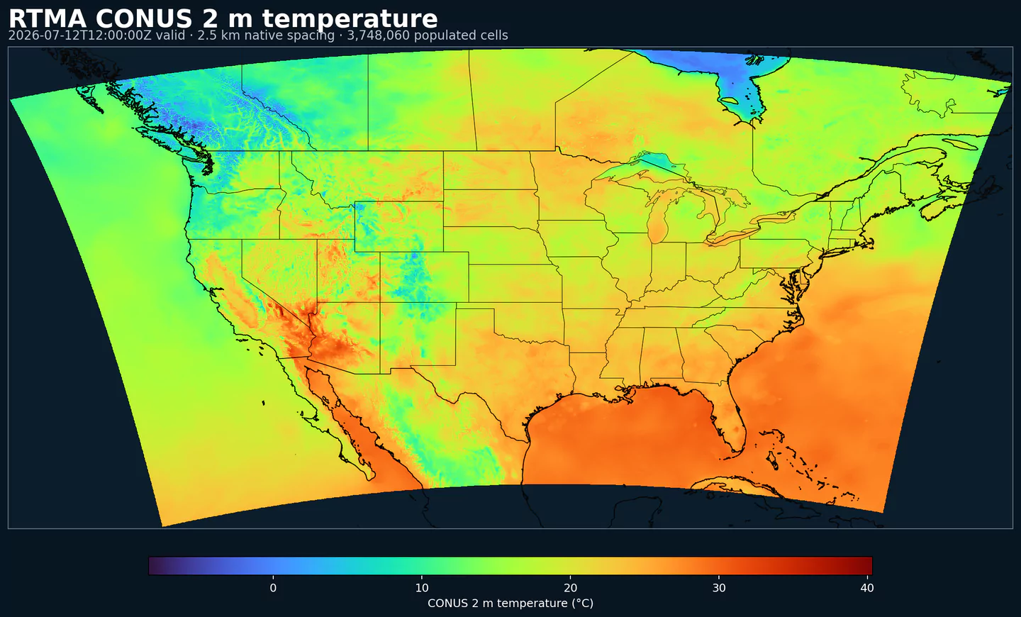
Air temperature is the thermal state of the atmosphere at the specified level. It influences density, stability, and energy exchange.
| Level | Info | Horizon | Introduced | Selector |
|---|---|---|---|---|
2 m above ground |
-45m-0m | 2026-02-04 |
{"name":"TMP","level":"2 m above ground","info":""}
|
U‑component of wind is the east‑west component of the horizontal wind. Combine with v for speed and direction.
| Level | Info | Horizon | Introduced | Selector |
|---|---|---|---|---|
10 m above ground |
-45m-0m | 2026-02-04 |
{"name":"UGRD","level":"10 m above ground","info":""}
|
V‑component of wind is the north‑south component of the horizontal wind. Combine with u for speed and direction.
| Level | Info | Horizon | Introduced | Selector |
|---|---|---|---|---|
10 m above ground |
-45m-0m | 2026-02-04 |
{"name":"VGRD","level":"10 m above ground","info":""}
|
Horizontal visibility at the surface. Lower values indicate reduced visibility due to fog, precipitation, or aerosols.
| Level | Info | Horizon | Introduced | Selector |
|---|---|---|---|---|
surface |
-45m-0m | 2026-02-04 |
{"name":"VIS","level":"surface","info":""}
|
Wind direction indicates the direction from which the wind is blowing at the specified level.
| Level | Info | Horizon | Introduced | Selector |
|---|---|---|---|---|
10 m above ground |
-45m-0m | 2026-02-04 |
{"name":"WDIR","level":"10 m above ground","info":""}
|
Wind speed is the magnitude of the horizontal wind at the specified level. It is used for transport, mixing, and hazards.
| Level | Info | Horizon | Introduced | Selector |
|---|---|---|---|---|
10 m above ground |
-45m-0m | 2026-02-04 |
{"name":"WIND","level":"10 m above ground","info":""}
|
Aucun paramètre ne correspond à la recherche.