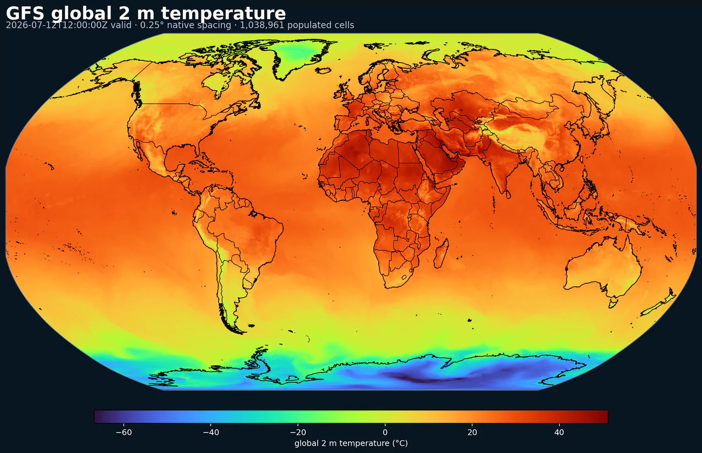
Representative global coverage: GFS 2 m temperature at its native 0.25 degree output spacing, with country boundaries overlaid. This coverage reference was generated from gfs for the aigefssfc page; available variables may differ.
Estado operativo: NOAA implementó AIGFS v1.0 y AIGEFS v1.0 el 17 de diciembre de 2025, junto con HGEFS. En GribStream, estos datasets son la línea operativa actual de NOAA para guía global basada en IA; graphcast queda como archivo histórico experimental.
AIGEFS Surface es el producto cercano a superficie del AI Global Ensemble Forecast System de NOAA/NCEP. NOAA puso en operación AIGEFS v1.0 el 17 de diciembre de 2025 como un ensemble de 31 miembros basado en GraphCast, junto con AIGFS determinístico y el ensemble híbrido HGEFS.
NOAA describe la familia AI-GFS como guía basada en GraphCast, desarrollada por NCEP con laboratorios de investigación de NOAA y el Earth Prediction Innovation Center. AIGEFS entrega escenarios de IA por miembro, por lo que complementa a ensembles físicos como GEFS y a guías de IA como AIFS ENS.
En vez de una única trayectoria, AIGEFS permite estimar dispersión, percentiles y probabilidad de excedencia. Esa diferencia importa cuando un producto necesita rangos de riesgo, no solo un valor central.
El dataset aigefssfc incluye campos de superficie y cercanos a superficie para los miembros 0 a 30: viento U/V a 10 m y 100 m, temperatura a 2 m, punto de rocío, humedad específica, presión de superficie, presión media al nivel del mar y precipitación acumulada.
Corre en grilla global de 0.25 grados, con ciclos 00, 06, 12 y 18 UTC y pasos de 6 h hasta 384 h. En GribStream, AIGEFS Surface es práctico para pronósticos puntuales probabilísticos, rangos de generación renovable, evaluación preliminar de rutas, comparación de escenarios de mediano plazo y verificación entre IA y modelos físicos.
Ensemble global de IA de NOAA/NCEP con 31 miembros por ciclo.
Miembros basados en la misma familia AIGFS/GraphCast que AIGFS determinístico.
Campos cercanos a superficie para los miembros 0 a 30: viento, temperatura, humedad, punto de rocío, presión y precipitación.
Grilla global de 0.25 grados, ciclos 00/06/12/18 UTC y pasos de 6 h hasta 384 h.
Resolución: Grilla global de 0.25 grados.
Cobertura temporal: Ciclos 00, 06, 12 y 18 UTC; pasos de 6 h hasta 384 h en la cobertura actual de GribStream.
Usos principales: Pronósticos puntuales probabilísticos, rangos de generación renovable, evaluación preliminar de riesgo de rutas, comparación de escenarios de mediano plazo, verificación entre IA y modelos físicos, y comparación contra GEFS.
Haz clic en un parámetro para ver sus variantes en una tabla compacta con selectores JSON listos para copiar. Los códigos, niveles y valores de selector se mantienen exactamente como los expone la API.
Accumulated precipitation represents the total water-equivalent amount of rain and snow during the output period. It is a primary field for hydrologic impacts and event totals.
Units: kg/m^2.
Use with the model time interval to interpret totals and compare to gauges.