Ceiling height is the altitude of the lowest cloud base that covers a significant portion of the sky. It is a key aviation and surface-visibility metric.
- Units: m.
Código GribStream: urma
URMA (Unrestricted Mesoscale Analysis) es el análisis horario de alta resolución de NOAA para condiciones cercanas a superficie. Funciona como análisis de referencia: vuelve a ejecutar el sistema RTMA aproximadamente seis horas después de cada tiempo válido, incorporando observaciones convencionales, mesonet, boyas, barcos y datos basados en radar que llegan demasiado tarde para RTMA.
URMA usa asimilación variacional bidimensional (2D-Var) con covarianzas estáticas de error de fondo, mediante GSI, para combinar observaciones con un primer campo estimado del modelo. Opera sobre varias grillas Lambert NDFD: 2.5 km para CONUS, alrededor de 3 km para Alaska y dominios para Hawaii, Puerto Rico y Guam.
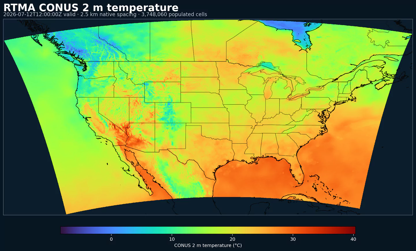
El dataset incluye campos estándar cercanos a superficie, como temperatura a 2 m, punto de rocío, humedad específica, viento a 10 m, presión de superficie, visibilidad, techo de nubes y precipitación. También integra campos de altura de ola costa afuera y temperaturas mínimas/máximas diarias.
URMA puede usar observaciones y controles de calidad que no llegan a tiempo para el ciclo de baja latencia de RTMA. Las mezclas radar-pluviómetro de precipitación, QPE MRMS/Multi-Radar, las redes mesonet adicionales y las actualizaciones de nieve NOHRSC ayudan a producir una referencia más completa para evaluación y entrenamiento.
Entre las mejoras documentadas de la familia URMA están el reemplazo de la antigua entrada Stage II de precipitación por MRMS/Multi-Radar QPE y la incorporación del análisis de nieve NOHRSC, con métodos como Whittaker blending para combinar campos de análisis.
URMA prioriza completitud y calidad, no latencia mínima. Por eso es una fuente de referencia para verificación, corrección de sesgo de NBM, backtesting y entrenamiento de modelos. En Alaska, insumos de URMA también alimentaron AORC para mejorar downscaling (ajuste a escala local o regional) de temperatura, humedad, presión y viento.
Haz clic en un parámetro para ver sus variantes en una tabla compacta con selectores JSON listos para copiar. Los códigos, niveles y valores de selector se mantienen exactamente como los expone la API.
Ceiling height is the altitude of the lowest cloud base that covers a significant portion of the sky. It is a key aviation and surface-visibility metric.
| Level | Info | Horizon | Introduced | Selector |
|---|---|---|---|---|
cloud ceiling |
0h | 2017-05-01 |
{"name":"CEIL","level":"cloud ceiling","info":""}
|
Dew point temperature is the temperature at which the air becomes saturated. It is a direct measure of moisture content.
| Level | Info | Horizon | Introduced | Selector |
|---|---|---|---|---|
2 m above ground |
0h | 2017-05-01 |
{"name":"DPT","level":"2 m above ground","info":""}
|
Wind gust is the peak short-duration wind speed. It captures brief, hazardous bursts that can exceed sustained winds.
| Level | Info | Horizon | Introduced | Selector |
|---|---|---|---|---|
10 m above ground |
0h | 2017-05-01 |
{"name":"GUST","level":"10 m above ground","info":""}
|
Geopotential height is the altitude of a pressure surface in the atmosphere. It is the primary field for identifying ridges, troughs, and large‑scale flow patterns.
| Level | Info | Horizon | Introduced | Selector |
|---|---|---|---|---|
surface |
0h | 2017-05-01 |
{"name":"HGT","level":"surface","info":""}
|
Pressure is the atmospheric pressure at the specified level. It is a fundamental mass-field variable for dynamics and thermodynamics.
| Level | Info | Horizon | Introduced | Selector |
|---|---|---|---|---|
surface |
0h | 2017-05-01 |
{"name":"PRES","level":"surface","info":""}
|
Specific humidity is the mass of water vapor per mass of air at the specified level. It is central to moisture transport.
| Level | Info | Horizon | Introduced | Selector |
|---|---|---|---|---|
2 m above ground |
0h | 2017-05-01 |
{"name":"SPFH","level":"2 m above ground","info":""}
|
Air temperature is the thermal state of the atmosphere at the specified level. It influences density, stability, and energy exchange.
| Level | Info | Horizon | Introduced | Selector |
|---|---|---|---|---|
2 m above ground |
0h | 2017-05-01 |
{"name":"TMP","level":"2 m above ground","info":""}
|
U‑component of wind is the east‑west component of the horizontal wind. Combine with v for speed and direction.
| Level | Info | Horizon | Introduced | Selector |
|---|---|---|---|---|
10 m above ground |
0h | 2017-05-01 |
{"name":"UGRD","level":"10 m above ground","info":""}
|
V‑component of wind is the north‑south component of the horizontal wind. Combine with u for speed and direction.
| Level | Info | Horizon | Introduced | Selector |
|---|---|---|---|---|
10 m above ground |
0h | 2017-05-01 |
{"name":"VGRD","level":"10 m above ground","info":""}
|
Horizontal visibility at the surface. Lower values indicate reduced visibility due to fog, precipitation, or aerosols.
| Level | Info | Horizon | Introduced | Selector |
|---|---|---|---|---|
surface |
0h | 2017-05-01 |
{"name":"VIS","level":"surface","info":""}
|
Wind direction indicates the direction from which the wind is blowing at the specified level.
| Level | Info | Horizon | Introduced | Selector |
|---|---|---|---|---|
10 m above ground |
0h | 2017-05-01 |
{"name":"WDIR","level":"10 m above ground","info":""}
|
Wind speed is the magnitude of the horizontal wind at the specified level. It is used for transport, mixing, and hazards.
| Level | Info | Horizon | Introduced | Selector |
|---|---|---|---|---|
10 m above ground |
0h | 2017-05-01 |
{"name":"WIND","level":"10 m above ground","info":""}
|
Ningún parámetro coincide con la búsqueda.