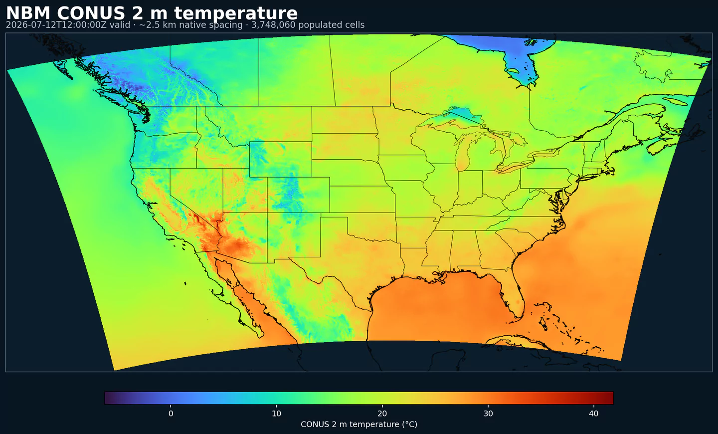
NBM 2 m temperature across the complete populated approximately 2.5 km CONUS product grid shared by these NBM products, with black boundaries. This plot was generated from the nbm dataset.
Estado de NBM v5: NBM v5 ya está operativo en este dataset. En el archivo de GribStream, las ejecuciones anteriores a 2026-05-05 06:00 UTC contienen la versión operativa anterior de NBM; las ejecuciones desde 2026-05-05 06:00 UTC en adelante usan NBM v5.
Los campos de acumulación como APCP, ASNOW y FICEAC ahora continúan a través del rango horario ampliado de NBM v5 y luego siguen con períodos de acumulación más largos en /timeseries, sin huecos ni ventanas duplicadas.
Descripción
NBM (National Blend of Models) es el sistema principal de NOAA para pronósticos postprocesados en grilla sobre Estados Unidos. Combina una variedad amplia de modelos numéricos, incluyendo sistemas globales, regionales, determinísticos y de ensemble, en una salida calibrada y de alta resolución.
La mezcla incorpora guía de modelos como GFS, HRRR, RAP, GEFS y sistemas internacionales como ECMWF IFS. El objetivo es equilibrar skill entre escalas de tiempo, regiones y variables en vez de depender de un único modelo.
El proceso usa técnicas estadísticas como Model Output Statistics (MOS), mapeo de cuantiles y ponderación de ensemble. Los pronósticos se corrigen contra URMA como referencia de verificación, lo que ayuda a entregar una salida más consistente que usar un modelo individual sin calibración.
NBM publica campos determinísticos, como temperatura, viento y QPF, y productos probabilísticos, como probabilidad de precipitación, percentiles y probabilidad de excedencia. Eso lo hace especialmente útil para productos de decisión y riesgo.
NBM está diseñado para entregar una guía consistente a escala nacional, desde el corto plazo hasta horizontes de varios días, con actualizaciones horarias. Su postprocesamiento ayuda a suavizar discontinuidades entre fuentes y ofrece una base estable para productos que necesitan decisiones repetibles.
En GribStream, nbm representa la grilla CONUS principal. Es una opción práctica cuando quieres datos listos para producto, con cobertura nacional, frecuencia horaria y un comportamiento más estable entre escalas de tiempo que muchos modelos individuales.
Combina pronósticos globales, regionales, determinísticos y de ensemble en un único dataset.
Integra guía de sistemas como GFS, HRRR, RAP, GEFS e IFS para equilibrar desempeño entre escalas de tiempo, regiones y variables.
Aplica postprocesamiento avanzado y corrección de sesgo usando URMA como referencia de verificación.
Produce campos determinísticos y probabilísticos para seguridad pública y apoyo a decisiones.
La grilla CONUS principal está en nbm. Otros dominios principales de NBM (Alaska, Hawaii, Puerto Rico, Guam y Oceanic) se exponen como códigos de dataset separados.
Resolución: Aproximadamente 2.5 km en la grilla CONUS principal.
Cobertura temporal: Actualizaciones horarias; los horizontes de pronóstico llegan hasta 264 h, alrededor de 11 días.
Usos principales: Planificación de seguridad pública, gestión de emergencias, aviación y operaciones marítimas, pronóstico de energía renovable, agricultura y conciencia situacional a escala nacional.
Haz clic en un parámetro para ver sus variantes en una tabla compacta con selectores JSON listos para copiar. Los códigos, niveles y valores de selector se mantienen exactamente como los expone la API.
Accumulated precipitation represents the total water-equivalent amount of rain and snow during the output period. It is a primary field for hydrologic impacts and event totals.
Units: kg/m^2.
Use with the model time interval to interpret totals and compare to gauges.
Apparent temperature combines air temperature, humidity, and wind to estimate how hot or cold it feels to humans. It is useful for heat and cold stress assessments.
Units: K.
Level
Info
Horizon
Introduced
Selector
2 m above ground
1h-264h
2020-09-29
{"name":"APTMP","level":"2 m above ground","info":""}
Convective Available Potential Energy (CAPE) quantifies buoyant energy available to rising air parcels. Larger values generally imply stronger potential updrafts and greater convective intensity.
Units: J/kg.
Often used with CIN and lifting mechanisms to assess thunderstorm potential.
Ceiling height is the altitude of the lowest cloud base that covers a significant portion of the sky. It is a key aviation and surface-visibility metric.
Craven-Wiedenfeld aggregate severe parameter combines instability and wind shear to indicate severe weather potential. Higher values suggest a higher risk of organized severe storms.
Distance to feature is the horizontal distance to the named hazard or boundary in the source product. It is used to map proximity to key features like fronts or hazards.
Units: km.
Level
Info
Horizon
Introduced
Selector
surface - 610 m above ground
1h-36h
2020-09-29
{"name":"DIST","level":"surface - 610 m above ground","info":""}
Dry thunderstorm probability indicates the chance of thunderstorms with little or no rainfall. It is used for wildfire ignition risk and lightning without wetting rain.
Ellrod index is a diagnostic for clear-air turbulence based on deformation and vertical wind shear. Higher values indicate greater turbulence potential for aviation.
Fosberg fire weather index combines temperature, humidity, and wind to estimate potential fire spread. Higher values indicate more favorable wildfire conditions.
Haines Index combines atmospheric stability and dryness to estimate the potential for large fire growth. Higher values indicate a more favorable environment for extreme fire behavior.
Units: Numeric.
Typically used in wildfire forecasting and risk monitoring.
Level
Info
Horizon
Introduced
Selector
entire atmosphere (considered as a single layer)
6h-264h
2020-09-29
{"name":"HINDEX","level":"entire atmosphere (considered as a single layer)","info":""}
Hourly maximum simulated reflectivity at 1 km AGL captures the strongest modeled reflectivity near the surface. It is used to identify peak convective intensity and heavy precipitation cores.
Units: dBZ.
Level
Info
Horizon
Introduced
Selector
1000 m above ground
1h-48h
2020-09-29
{"name":"MAXREF","level":"1000 m above ground","info":""}
Coded surface precipitation type derived from model precipitation and near-surface thermodynamics. It distinguishes rain, snow, freezing rain, mixed types, and related categories.
Units: coded.
Interpret together with precipitation rate or accumulation.